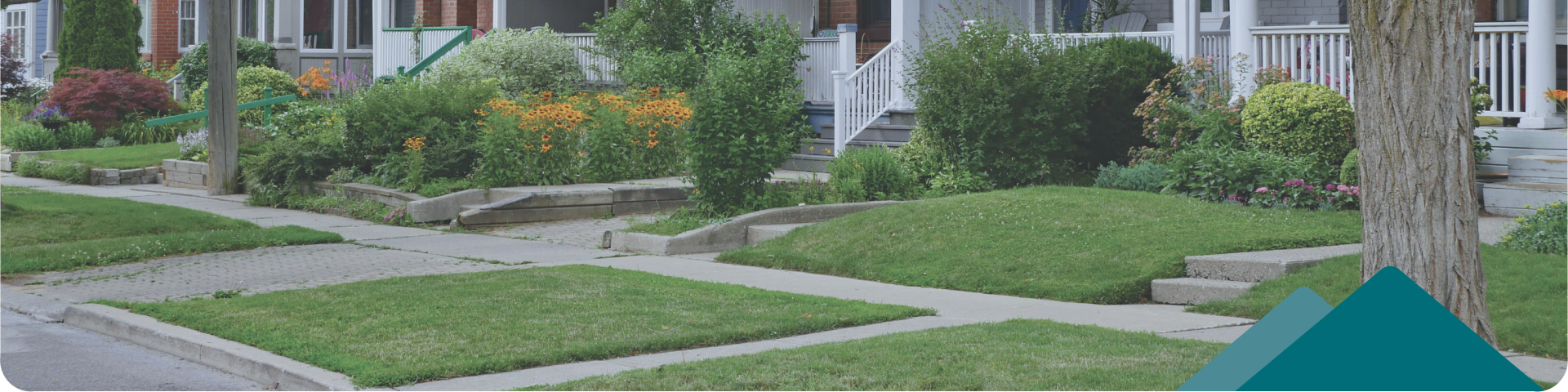
The City boulevard is the section of land between the property line and the edge of the pavement or curb of the road.
Under the Boulevard Maintenance Bylaw, property owners and residents are required to maintain the City boulevard adjacent to their property. A boulevard can be along the front, back, or sides of a property. The responsibility for maintenance also extends to separated boulevards, which are the areas located between the curb and the sidewalk.
Why Do We Regulate Boulevards?
Boulevards are City property and often contain public infrastructure that the City or utility companies need access to for maintenance. Some examples of infrastructure commonly found in boulevards are:
- Street trees, bioswales, rain gardens, and green spaces
- Sidewalks and multi-use paths
- Hydro poles and street lights
- Signs (street signs, stop signs, parking signs, etc.)
- Water, sewer, and drainage mains
In addition to providing access for utility crews, boulevards have a role to play in public safety:
- Maintaining safe sightlines for vehicle traffic
- Maintaining safe pedestrian access to sidewalks
- Providing a location for garbage and recycling pickups
Boulevards are public spaces and we all have a role to play in maintaining them for everyone's benefit.
Know the Rules
Property owners, tenants, and occupants are responsible for keeping every boulevard that borders their property in a clean and tidy condition.
Property owners, tenants, and occupants are prohibited from altering the boulevard in a way that could cause a public safety hazard or obstruct access.
Using the Boulevard
In some situations, property owners may want temporary access to, or use of, a boulevard. In order to work on City property, a Highway Use Permit is required.
Locating Property Lines
To identify the boulevard, you must first know the boundaries of the property. Knowing the location of property lines will also help when designing renovation and landscaping projects, and understanding where underground infrastructure indicated on record drawings is located.
The most accurate method to identify property lines is to locate the property pins. These are typically metal pins buried in the ground and may potentially be marked with a white wooden post. A land surveyor will be able to assist you with this process if the property pins have been either buried or destroyed.
To get an approximate location of property lines, identify features using the City's Ridgeview mapping system and then measure to your property line. Typical features that can be used are concrete curbs and gutters, sidewalks, or access points to underground pipework.