
With 150 years of history, Maple Ridge has grown from its agricultural roots and has a wide variety of things to do and places to check out. Whether you're visiting, just moving in, or have grown up here, the following maps and guides aim to help make our city practical to navigate, whether by street or trail.
Maps
Note: When you access digital maps and the Open Data Portal, you agree to the Terms of Use.

Backyard Burning Map
Business Finder

City Street Map

Crime Map

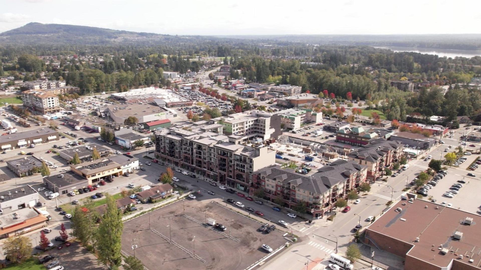
Downtown Map
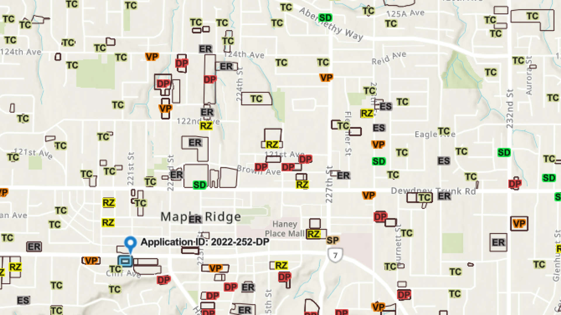
Land Development Application Map

Park Finder

Recycling Day Finder

RidgeView: Interactive City Lot Map

Snowplow Tracker
Urban Infill Residential Unit Locator
Trail and Park Guides
Parks and Recreation have developed outdoor recreation guides to increase your knowledge of local recreation opportunities and venues, encourage you to actively explore and enjoy the natural beauty within the community, and inspire you to build and maintain an active lifestyle.

Maple Ridge Trail and Park Guide

Horse Trails

Thornhill Trails Map
Biking Around Maple Ridge
Travelling by bike just makes sense. It is healthy, sustainable, and cost-effective. The Metro Vancouver area is bike friendly and there are many networks of bike routes intertwined and connecting every community.
There are several streets that weave throughout Maple Ridge that have dedicated bike lanes. As well, there is an unpaved off-street route that follows the dyke from Maple Ridge to Pitt Meadows.
If you are interested in local cycling education, events and helpful information visit HUB.
Open Data Portal
The City provides a municipal data catalogue and maps to the public for analysis and download. The intent is to empower the use of City data to develop innovative, local solutions to help address complex community issues. Learn more on our Open Data Portal page.