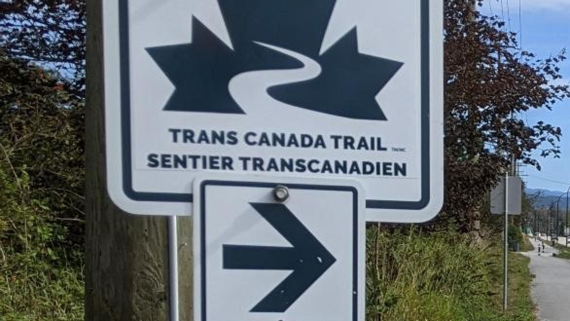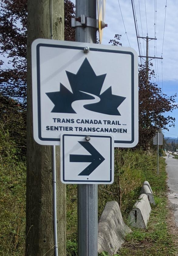
As part of Trans Canada Trail's wayfinding re-signing program, the City of Maple Ridge recently replaced the main wayfinding signage along the local portions of the Trans Canada Trail.
This project was funded in part by a grant received from Trans Canada Trail to enhance our local sections of Canada's national trail.
The Trans Canada Trail
The Trans Canada Trail is the world's longest network of multi-use recreational trails. As of August 2021, the trail stretches more than 28,000km and continues to grow across every province and territory. It's a showcase of Canada's diverse landscapes and cultures, and a sustainable national asset that fosters unity, collaboration, and connectedness.
Our national trail is managed by local trail groups and partners who work in conjunction with Trans Canada Trail, a registered charity.
To learn more about the Trans Canada Trail or to explore the trail map visit Trans Canada Trail | Canada's National Trail (tcTrail.ca)