City Responds to High Streamflow Advisory and Flood Watch in Effect
Last updated on
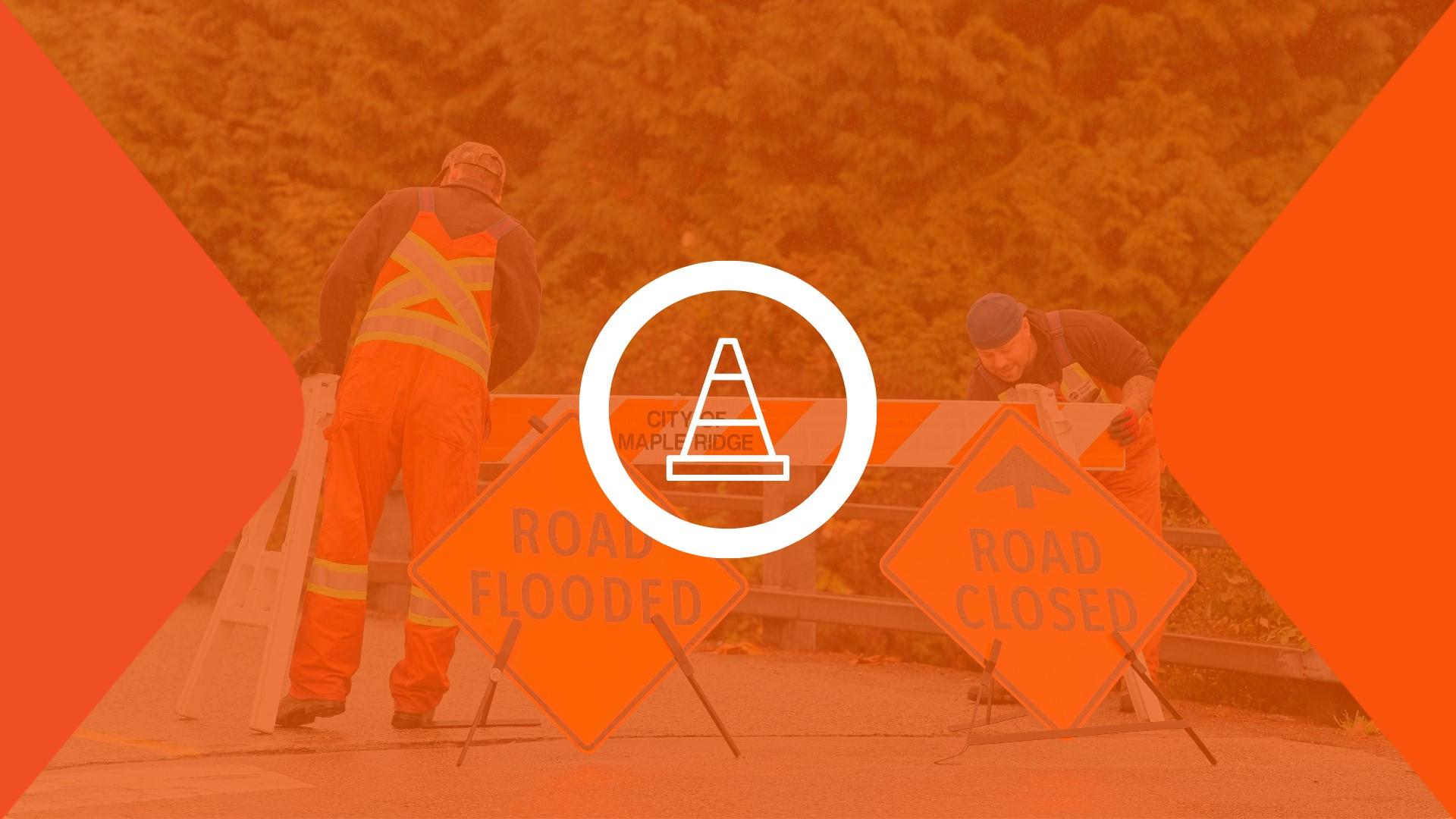
Image
Storm Update 5, January 13, 6:00 am
The City of Maple Ridge responded proactively to the recent storm event, with crews working both in advance of and throughout the storm to monitor conditions and address impacts as they occurred.
City crews were deployed before, during, and after the storm to inspect and maintain drainage infrastructure, monitor river levels, deploy pumps in priority areas, and respond to incidents as needed. Crews also worked overnight during the peak of the event. We thank all our crews for the dedication and hard work during these challenging conditions.
The City is continuing to assess storm-related impacts. Initial observations indicate damage primarily to road shoulders and paving, the development of potholes, downed trees, and debris accumulation in some areas. Crews are actively addressing these issues, including roadway clean-up and repairs, and this work will continue as conditions allow.
Some gravel from washouts and minor pooling may remain in some areas. Crews will be out today cleaning roadways and repairing potholes. All roads are now OPEN to traffic
Use caution around fast-flowing water and unstable river banks. Keep children and pets close at all times. Follow all posted signage, including any trail closures that remain in place.
Report City road concerns, potholes or downed trees: MapleRidge.ca/Report | 604-463-9581
Lougheed Highway, Golden Ears Way (up to 210 St), and the Golden Ears Bridge are maintained by provincial contractors. To report a road or safety hazard on these routes, contact MainRoad Group
Thank you for your patience and cooperation as crews complete clean-up efforts. Further updates will be shared as required.
Storm Update 4, January 12, 11:30 am
The following full road closures in place due to high water and unsafe conditions:
132 Ave between 224 and 220 St CLOSED. Local traffic only
224 Street between 132 and 136 Ave CLOSED
Traffic control and barricades on site. Crews monitoring roads - possible further closures.
Do NOT drive through road closures or flooded roadways. Water depth and road conditions may be unsafe and not visible. Driving through flooded areas can also push water onto nearby properties and cause further damage.
Please follow all posted directions, stay alert, avoid the area, and use alternate routes if possible.
Roads will remain closed until conditions improve. Further updates will be shared as required.
Storm Update 3, January 12, 6:15 am
City night crews have been actively monitoring conditions overnight. Due to ongoing rainfall, the following measures are in place:
224 St & 132 Ave is CLOSED due to localized flooding.]
Do NOT drive through road closures or flooded roadways. Water depth and road conditions may be unsafe and not visible. Please avoid the area and use alternate routes. The road will remain closed until conditions improve.
Pumps have been deployed in Lower Hammond due to rising water levels.
Further updates will be shared as conditions change.
Please stay alert, respect all road closures, and travel with caution.
Storm Update 2, January 11, 12:00 pm
The BC River Forecast Centre has upgraded the High Streamflow Advisory to a Flood Watch for our region with 100mm+ of rainfall expected. An Environment Canada Yellow Weather Alert is now in effect which means:
• River levels are rising and may approach or exceed banks
• Localized flooding, fast-rising water levels, washouts, and hazardous travel are likely
• Areas of concern include Alouette and Kanaka Creek
City crews continue to monitor conditions and inspecting, clearing, and preparing infrastructure including drainage systems, culverts, and pump stations.
Safety Reminder
• Drivers and pedestrians: avoid flooded roads, sidewalks, and underpasses
• Use caution near waterways and unstable banks
• Allow extra travel time and distance
Sandbags are available for residents in flood-prone areas: call 604-463-9581 | Operations@MapleRidge.ca to arrange pickup.
Storm Update 1, January 10, 8:00 am
A High Streamflow Advisory is in effect for Maple Ridge. A prolonged storm system may bring 100mm+ of rain, increasing river levels.
Expect localized flooding, washouts & hazardous travel, including along Alouette & Kanaka Creek.
City crews are inspecting, clearing, and preparing infrastructure including drainage systems, culverts, and pump stations. Conditions are being closely monitored and crews are monitoring conditions.
Drivers & pedestrians: avoid flooded roads/sidewalks, use caution near waterways, and allow extra travel time.
Sandbags: available at Operations Centre for residents in flood-prone areas: call 604-463-9581 or email Operations@MapleRidge.ca to arrange pickup.