Developing the McKenney Creek Restoration and Enhancement Plan is a comprehensive initiative to protect and enhance one of the community's important natural assets, while supporting growth in the city's west and central areas.
Description
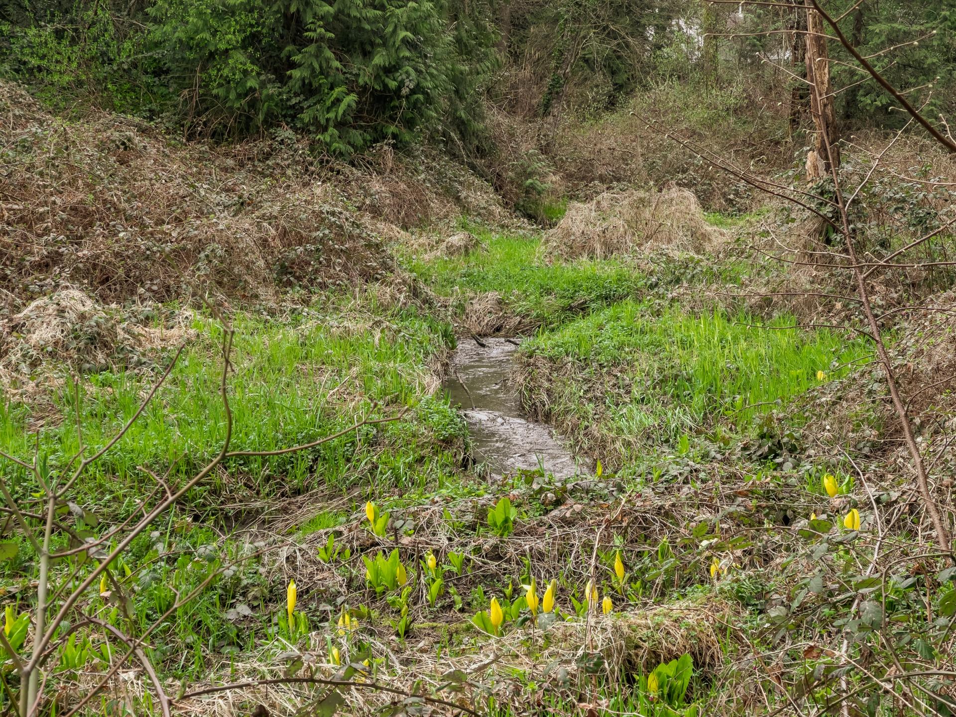
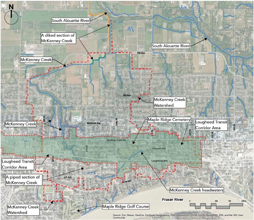
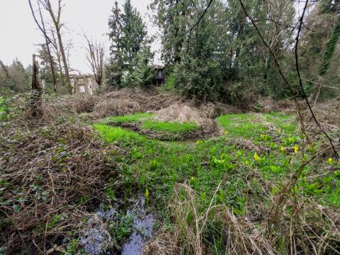
McKenney Creek flows through a 500-hectare catchment extending north from the Lougheed Transit Corridor area through downstream agricultural lands to the South Alouette River. Although past urban and agricultural development has impacted the creek, it remains an important environmental corridor with strong potential for restoration and long-term resilience.
The plan will:
- Asses current environmental conditions throughout the McKenney Creek corridor
- Identify opportunities to reduce the impacts of urban growth and climate change
- Set targets for peak flow management and water quality
- Outline phased actions to restore and enhance the creek corridor
- Identify opportunities to improve access, connectivity, and appreciation for the creek
Status
To support development of the plan, City staff are working with external consultants to help shape recommendations related to watershed health, drainage capacity, climate resilience, water quality, and restoration priorities.
The next phase of work will include engagement with First Nations and targeted consultation with interest holders, report development, and refinement of recommendations.
Once complete, staff will bring the McKenney Creek Restoration and Enhancement Plan to Council for consideration.